- Like
- Digg
- Del
- Tumblr
- VKontakte
- Buffer
- Love This
- Odnoklassniki
- Meneame
- Blogger
- Amazon
- Yahoo Mail
- Gmail
- AOL
- Newsvine
- HackerNews
- Evernote
- MySpace
- Mail.ru
- Viadeo
- Line
- Comments
- Yummly
- SMS
- Viber
- Telegram
- Subscribe
- Skype
- Facebook Messenger
- Kakao
- LiveJournal
- Yammer
- Edgar
- Fintel
- Mix
- Instapaper
- Copy Link
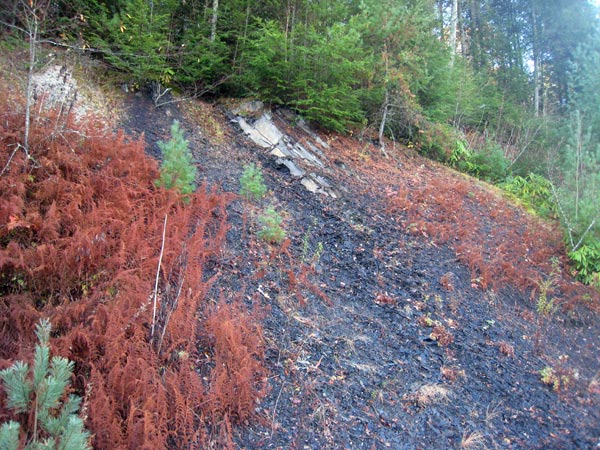
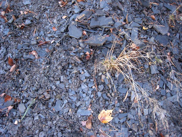
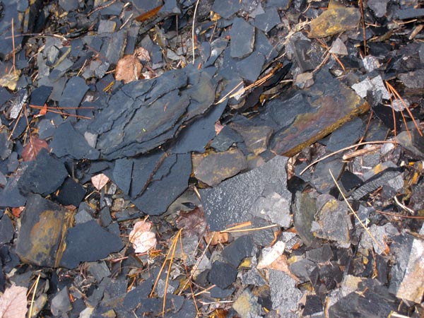
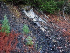
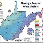
In most places in West Virginia the Marcellus Shale is thousands of feet under the ground. In the ridge and valley province of the Appalachian mountains, the rock strata buckled when Africa and North America collided eons ago. (Sometimes the strata even folded over creating rock layers in the reverse order of their age on top of the same formations in their normal order.) Near Marlinton, in Pocahontas County, West Virginia, the Marcellus comes to the surface, or “crops out”. Below are pictures of taken at an outcrop. Copyright WV SORO, December, 2007
Click any image to view at full size